Capability — Map
Spatial data your engineers can work in.
Digital twins, point clouds and 3D models of sites, structures and internal spaces, captured at survey grade.
Reduce risk
Personnel stay on the ground and out of vessels.
Reduce downtime
Most work is completed while assets remain in service.
Reduce cost
No scaffolding, MEWPs, rope access or road closures.
Increase asset intelligence
Comparable data sets, survey after survey.
From site to model, without interrupting operations.
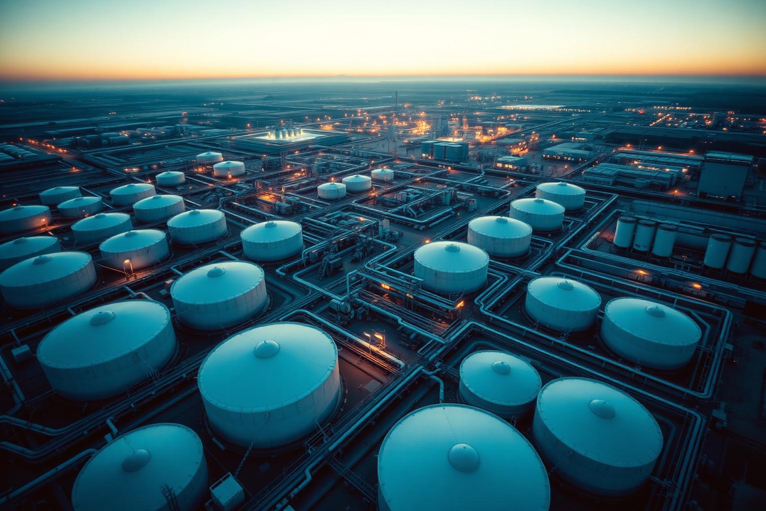
Aerial and internal capture is combined into a single spatial record of the asset. Volumes, clearances, dimensions and change over time can be measured from the model instead of from the site.
Outputs are delivered in the formats your design and asset teams already use.
Outputs
- Digital twins
- Point clouds
- Textured 3D models
- Orthomosaics
Applications
- Shutdown planning
- Volumetric measurement
- As-built verification
- Confined space modelling